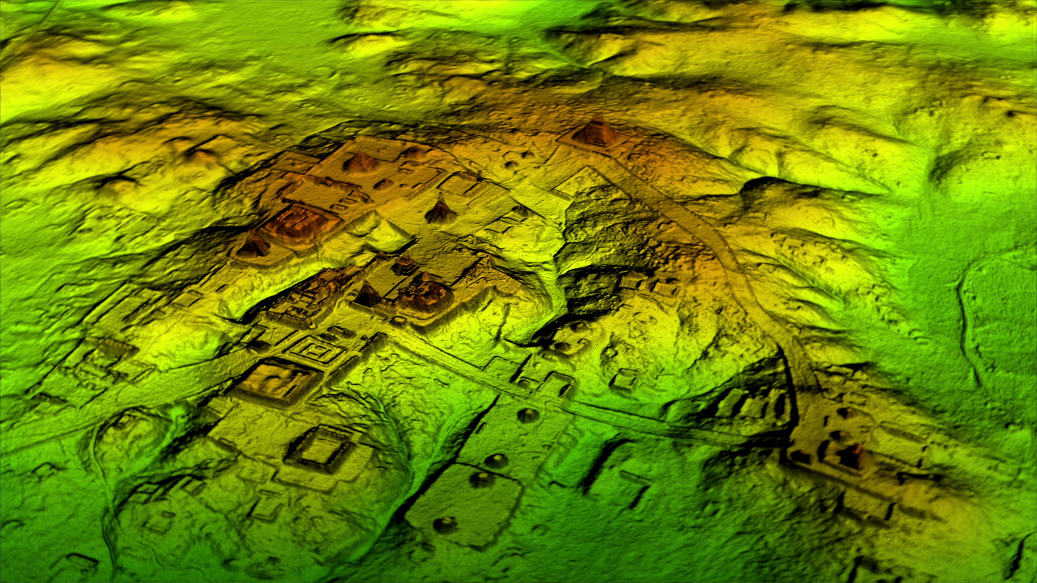
Maps are tools we have devised to represent our world. As such, they are models of natural landscapes populated with features, both alive and inanimate. Put simply, a map encodes different types of data on the landscape by using a coherent and broadly understandable set of representations. Hand-drawn or computer-made, printed maps are good models, but they yield a few limitations, for example: you can only represent so much on a 2d medium before it becomes hard to read; analyzing them can quickly become time-consuming; and they can be hard to share.
Geographic Information Systems (GIS) use computers to plot data on landscapes, analyze them, and efficiently create any number of 2d and 3d maps for conveying these data comprehensively. GIS are used by a wide array of scholars, from cartographers and geographers to social scientists and public health specialists. Engineers designing aqueducts, officials studying road traffic, environmentalists seeking to preserve forests, farmers wishing to optimize their harvest, and archaeologists studying ancient urbanism all rely on GIS to make informed decisions and report the most accurate information.
This course is geared towards students interested in asking questions about the natural and/or social landscapes, which will best be answered with mapped data. A crucial part of this course will be learning how to useArcGIS Pro, the most recent and powerful GIS software, which comes with a sister online system,ArcGIS Online, and a smartphone app, Collector. A good portion of our virtual, asynchronous seminars will be spent working on distinct case-studies on ArcGIS Pro to learn its key functionalities, such as: creating and editing rasters and vectors on maps; encoding quantitative and qualitative data on landscapes; analyzing geospatial and temporal data; and visualizing and presenting 2d and 3d data.
Great maps are amazing ways to report research results. In fact, an argument could be made that a good research report – be it in print, on the Web, or in person – mustfeature great maps. Maps are thus a mandatory research tool. This course will give you the toolkit to examine, analyze, and present many data types on any landscapes; a skill which should be useful for the rest of your academic and professional career and that should significantly enhance your résumé.
- Teacher: Maxime Lamoureux-St-Hilaire